
Book
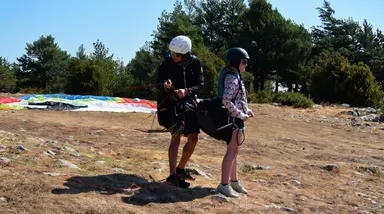
A wing laid out on a snowy mountain ridge

Puigllançada, a high-mountain take-off

A grassy summit above La Molina, reached on foot from the Coll de Pal with a track recorded by our team.

Hike & fly · Guide · Updated 30 October 2026

The Puigllançada is a grassy summit rising above the La Molina ski area, on the border between the Berguedà and the Cerdanya. From its take-off, facing east and south-east, you fly towards the Bagà side, with a long drop to the valleys.

You cannot drive to the top. You walk up from the Coll de Pal over open grassy slopes, and the take-off sits a few metres below the summit, at around 2,400 metres. It is a high-mountain Hike & Fly: the climb is as much a part of the day as the flight.

Below you will find the hike, with the numbers from our own track, and what is worth knowing before you come.

The hike up

From the Coll de Pal to the summit

This is the track we recorded ourselves. It leaves the Coll de Pal and climbs the grassy slopes to the take-off, just below the top. Distance and climb come from the track geometry.

From the Coll de Pal

This is how long our own ascent took. Yours will depend on your pace and on the conditions on the mountain.

Distance
1.8 km
Climb
+310 m
Take-off elevation
2,400 m
Our time
1 h 3 min

How long one of our own ascents took. Yours will depend on your pace.
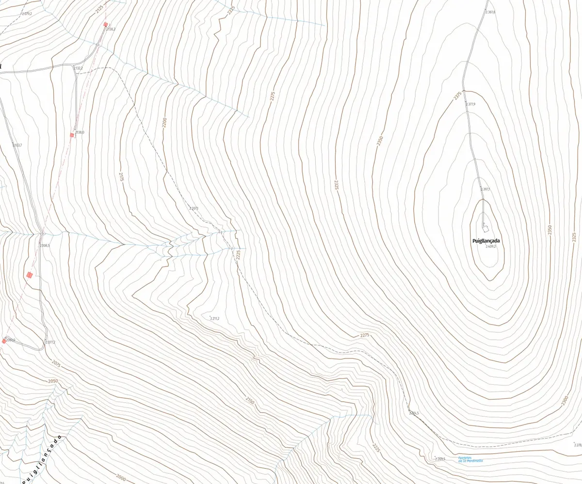
Topographic map of From the Coll de Pal, from the start to the take-off
Base map: © Institut Cartogràfic i Geològic de Catalunya (CC BY 4.0)
2,100 2,200 2,300 2,400 0 km0.5 km1 km1.5 km
Elevation profile

Route recorded by the school's team.

Download GPX GPX · 4 KB
Getting there

Where it starts and what the take-off is like

  • Starting point

    The Coll de Pal, reached by the BV-4024 road from Bagà. From the pass you walk up, with no road to the summit.

  • Orientation

    The take-off faces east and south-east, towards the Bagà side. It is a dome of short grass at around 2,400 metres.

Where you land

Published guides to the area list the landings at Bagà and at la Pobla de Lillet. Which one we use on the day depends on the wind and the flight, and the pilot decides it at the briefing.

Before you climb

What to keep in mind

  • This is high mountain, above 2,400 metres. You need good fitness, mountain footwear and warm, windproof clothing even when it is hot in the valley.
  • The weather changes quickly at this altitude. We check the forecast and the wind before climbing, and the final decision to fly always belongs to the pilot.
  • The Cadí-Moixeró Natural Park only allows take-off and landing in its authorised areas, and the Puigllançada is one of them. Anywhere else needs prior authorisation from the park.
  • The climbing time we publish is that of our own track. Yours will depend on your pace and on the state of the ground.
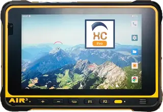
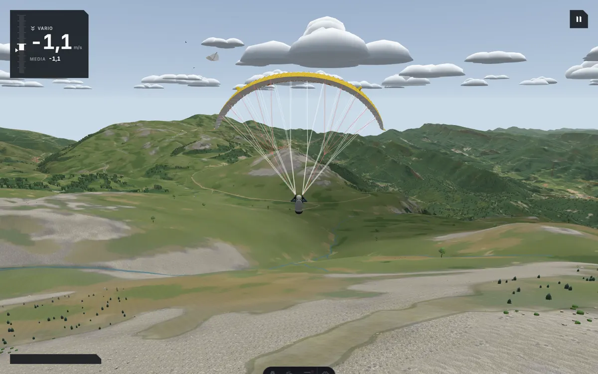
Screenshot of the school's simulator at the Puigllançada take-off, with the grassy dome and the Berguedà mountains ahead of the wing

The simulator

Try this take-off in the simulator

The Puigllançada rebuilt in the school's simulator, with terrain built from real data and the take-off facing east-south-east. You start in the air, right above the grassy dome.

The simulator needs an account, so it will ask you to sign in before you start. Choose free flight and press fly.

Fly here with us

Hike & Fly · Puigllançada

We walk up to the summit you choose and launch from the top.

Acro and the photo and video report are included in the price.

This flight depends on the weather: 24 to 72 hours ahead we know whether there is a window. If there is none, we reschedule at no cost or refund the full amount.

Price
€200
Duration, climb and flight
3–5 h
All summits
from €120 to €225

The article informs. Booking happens on the flight page.

More take-offs

Other take-offs in the Berguedà

Frequently asked questions

Can you fly from the Puigllançada?

Yes. The Cadí-Moixeró Natural Park lists it among the areas authorised for take-off and landing of non-motorised aircraft, together with La Tosa, La Creueta and the Enforcadura of the Pedraforca.

How long does the hike take?

Our ascent from the Coll de Pal, on the track shown above, took 63 minutes. The full Hike & Fly, hike and flight together, fills a good part of the day.

Where do you land?

Published guides to the area list Bagà and la Pobla de Lillet. The pilot chooses the landing on the day according to the wind and the flight.

Do I need experience to hike up?

You need good fitness and mountain gear, because the climb is above 2,000 metres. To fly with us in tandem you do not need to be a pilot.

Choose which cookies you accept. You can change it at any time from “Cookie settings” at the bottom of the page.

Visit statistics (Umami) are anonymous and use no cookies, so they do not depend on this choice.

That flight doesn't fit this booking

See the booking