

From Castellar de n'Hug
A mountain climb from Castellar de n'Hug up to the col.
- Distance
- 4.5 km
- Climb
- +540 m
- Take-off elevation
- 1,920 m
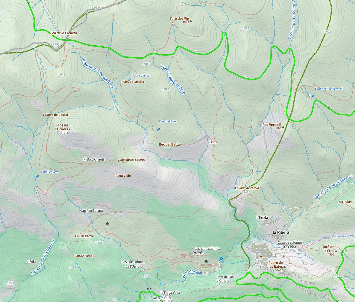
Route recorded by the school's team.
Download GPX GPX · 8 KB
The path to becoming an independent pilot
The school
Talk to us
We answer your questions about flights and courses on WhatsApp.
Write to us
A take-off authorised by the Cadí-Moixeró Natural Park, reached on foot from Castellar de n'Hug with a track recorded by our team.
Hike & fly · Guide · Updated 30 October 2026
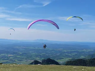
The Coll de la Creueta is one of the take-offs of the Cadí. The Cadí-Moixeró Natural Park lists it among the few areas where you may take off and land with a paraglider, together with La Tosa, the Puigllançada and the Enforcadura of the Pedraforca.
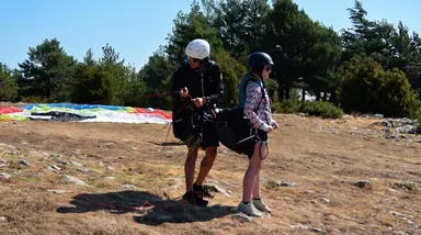
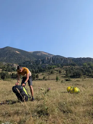
You reach it on foot. Our track leaves Castellar de n’Hug and climbs to the take-off, at around 1,900 metres. It is a long climb, real mountain walking, which makes this a Hike & Fly for people already used to walking with height gain.
Below you will find the hike, with the numbers from our own track, and what is worth knowing before you come.
The hike up
This is the track we recorded ourselves. It leaves Castellar de n'Hug and climbs to the Coll de la Creueta take-off, at around 1,900 metres. Distance and climb come from the track geometry.
A mountain climb from Castellar de n'Hug up to the col.
Route recorded by the school's team.
Getting there
Castellar de n'Hug, at the foot of the Cadí. From there you walk up to the pass.
We decide the landing place with the pilot on the day, depending on the wind and the flight.
Before you climb
Fly here with us
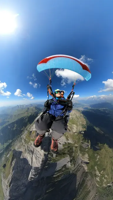
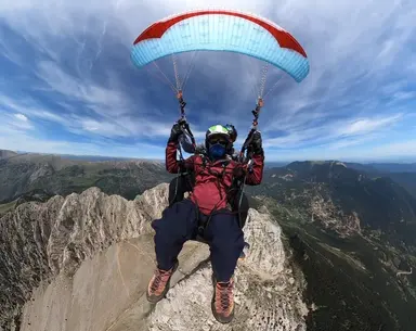
We walk up to the summit you choose and launch from the top.
Acro and the photo and video report are included in the price.
This flight depends on the weather: 24 to 72 hours ahead we know whether there is a window. If there is none, we reschedule at no cost or refund the full amount.
The summits you can book online today, with their price, are on the flight page.
The article informs. Booking happens on the flight page.
More take-offs
A grassy summit above La Molina, reached on foot from the Coll de Pal with a track recorded by our team.
What the Pedraforca Enforcadura take-off is like, what the hike up from Gósol involves, and what to know before flying from an authorised park area.
How to hike up to the Serra d'Ensija ridge, with two routes recorded by our team, and what to know before flying from there.
Yes. The Cadí-Moixeró Natural Park lists La Creueta among the areas authorised for take-off and landing of non-motorised aircraft, together with La Tosa, the Puigllançada and the Enforcadura of the Pedraforca.
In Castellar de n'Hug, following the track shown above, recorded by our team.
We decide the landing with the pilot on the day, depending on the wind and the flight.
We use technical cookies, necessary for the website to work, and, with your permission, analysis cookies to understand how the website is used and improve your experience, maps from Google Maps, and advertising cookies to measure our Google ads. Learn more
