


Pedraforca, the Enforcadura take-off you hike up to
What the Pedraforca Enforcadura take-off is like, what the hike up from Gósol involves, and what to know before flying from an authorised park area.
Hike & fly · Guide · Updated 30 October 2026
Pedraforca is one of the most recognisable mountains in the Berguedà. You fly from the Enforcadura, the U-shaped col joining its two pollegons, and getting there means hiking up from Gósol with your wing on your back.
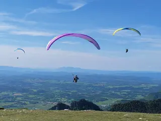
The Enforcadura is one of the areas where the Cadí-Moixeró Natural Park allows take-off and landing, and flying is only from the authorised areas. You land in Gósol, in the same village the hike starts from.
It is a full mountain day: a lot of path, a lot of height gain and a take-off on scree and rock. Go with a good forecast, good fitness and no rush.
The hike up
The classic ascent from Gósol
The way up Pedraforca to the Enforcadura is the classic route that starts in Gósol.
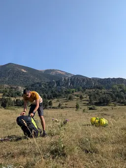
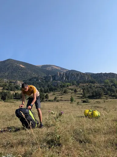
The classic ascent starts in Gósol, climbs towards the Coll de Cabra and reaches the Enforcadura, the U-shaped col between Pedraforca's two pollegons. It is a long climb with a lot of height gain, on a mountain path.
See the reference routeGetting there
Where it starts and what the take-off is like
-
Starting point
Gósol, in the Berguedà. From there you walk up with your wing on your back.
-
The take-off
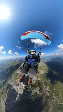
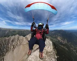
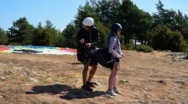
The Enforcadura, an almost flat col between the Pollegó Superior and the Pollegó Inferior. You can launch to the southwest, down the scree that drops to Gósol, and to the northeast. In the simulator, ours is the southwest one.
-
Authorised area
The Enforcadura of Pedraforca is one of the areas where the Cadí-Moixeró Natural Park allows take-off and landing. Elsewhere you need an exceptional authorisation, so flying is only from the authorised areas.
Where you land
In Gósol, at the foot of the scree you launch down.
Before you go up
What to keep in mind
- This is high mountain terrain. You need very good fitness, mountain boots, warm clothing, water and food for a long day.
- The col is above 2,300 metres. Weather changes quickly at that height, with wind, fog or storms arriving with little warning. Check the forecast before setting out and be ready not to fly.
- The take-off is scree and rock, with no installation. Fly only from the areas authorised by the park and follow its rules.
- The decision to fly is always the pilot's, on site and in the real wind. This article describes the place, it does not replace the briefing.
The simulator
Try Pedraforca in the simulator
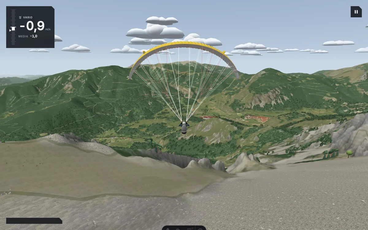
Pedraforca rebuilt in the school's simulator, with terrain from real data. You start at the head of the Gósol scree, a few metres from the Enforcadura, facing west-southwest.
The simulator needs an account, so it will ask you to sign in before you start. Choose free flight and press fly.

Fly here with us
Hike & Fly · Pedraforca
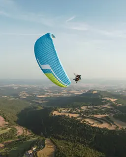
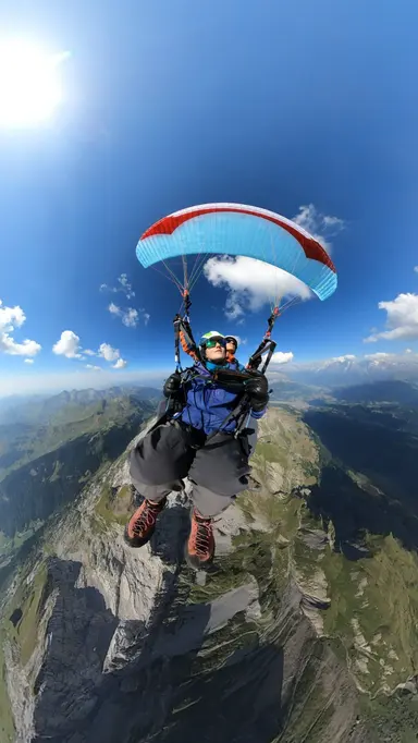
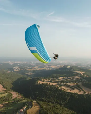
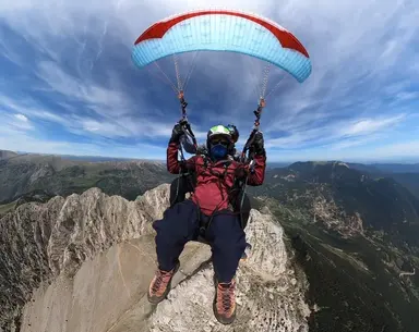
We walk up to the summit you choose and launch from the top.
Acro and the photo and video report are included in the price.
This flight depends on the weather: 24 to 72 hours ahead we know whether there is a window. If there is none, we reschedule at no cost or refund the full amount.
- Price
- €225
- Duration, climb and flight
- 3–5 h
- All summits
- from €120 to €225
The article informs. Booking happens on the flight page.
More take-offs
Other take-offs in the Berguedà
-
Serra d'Ensija, the ridge take-off you hike up to
How to hike up to the Serra d'Ensija ridge, with two routes recorded by our team, and what to know before flying from there.
-
Puigllançada, a high-mountain take-off
A grassy summit above La Molina, reached on foot from the Coll de Pal with a track recorded by our team.
-
Coll de la Creueta, a take-off in the Cadí
A take-off authorised by the Cadí-Moixeró Natural Park, reached on foot from Castellar de n'Hug with a track recorded by our team.
Frequently asked questions
Can you fly from anywhere on Pedraforca?
No. The Cadí-Moixeró Natural Park only allows take-off and landing in certain authorised areas, and the Enforcadura is one of them. Anywhere else needs an exceptional authorisation.
Where do you land?
In Gósol.
Where does the hike start?
The classic ascent starts in Gósol and reaches the Enforcadura. You can see a reference route at the link in the hike section.
Do I need mountain experience?
Yes. You need very good fitness and mountain gear, and to be ready to turn back if the weather does not cooperate.