
Book
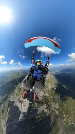
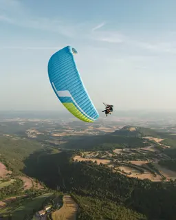
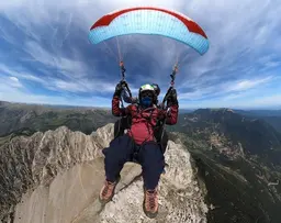
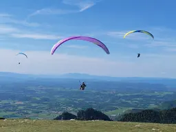
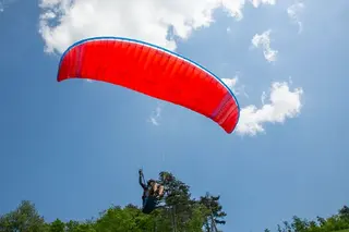
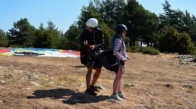
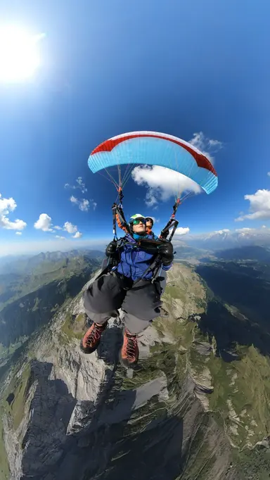
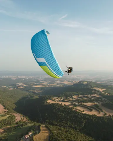
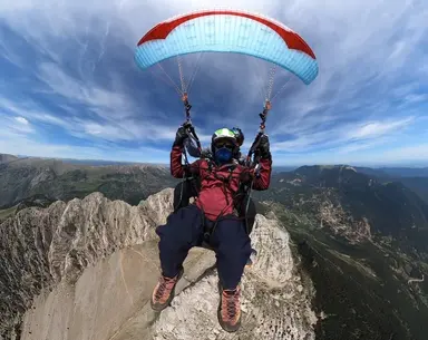
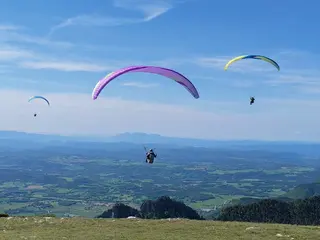
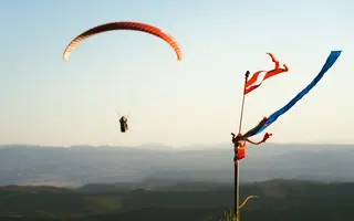
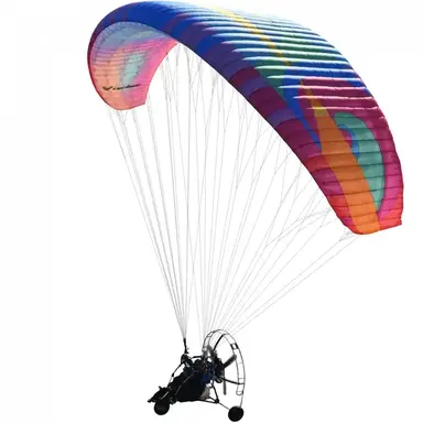
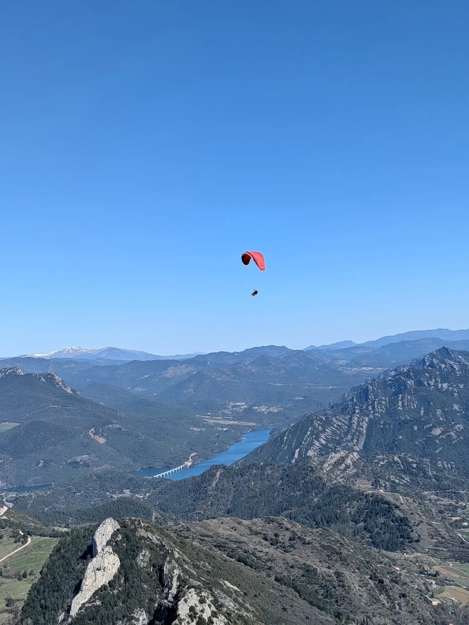
A paraglider in the sky over the Berguedà mountains

Serra d'Ensija, the ridge take-off you hike up to

How to hike up to the Serra d'Ensija ridge, with two routes recorded by our team, and what to know before flying from there.

Hike & fly · Guide · Updated 30 October 2026

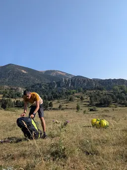
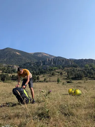
The Serra d’Ensija is a high range in the Berguedà, with a ridge take-off on our Hike & Fly list. You fly from the ridge, off a high-mountain meadow, and getting there means hiking up with your wing on your back.

The take-off faces south and north, so the wind of the day decides which way you leave. It is a place for a day of good weather and a good forecast, with a taste for walking and no rush.

Below are the two hikes we recorded, from Peguera and from the Rasos de Peguera car park, with the distance and climb of each.

The hike up

Two routes to the ridge

Two tracks recorded by our team. One starts in Peguera and the other at the Rasos de Peguera car park. Both end on the Serra d'Ensija ridge, above 2,200 metres, where the take-off is.

From Peguera

The shorter of the two. Our climb took 83 minutes.

Distance
4.3 km
Climb
+710 m
Take-off elevation
2,270 m
Our time
1 h 23 min

How long one of our own ascents took. Yours will depend on your pace.
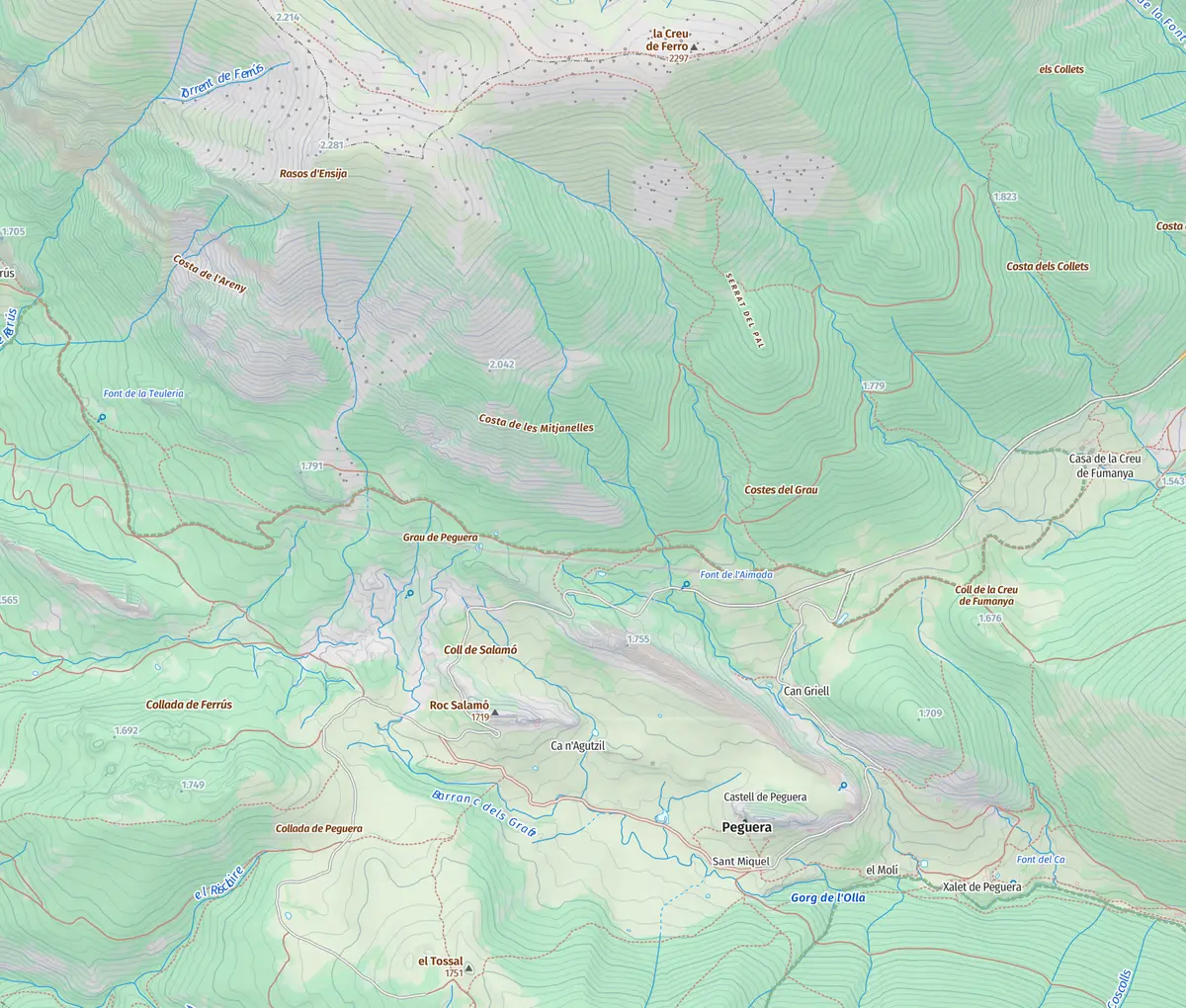
Topographic map of From Peguera, from the start to the take-off
Base map: © Institut Cartogràfic i Geològic de Catalunya (CC BY 4.0)
1,600 1,800 2,000 2,200 0 km1 km2 km3 km4 km
Elevation profile

Route recorded by the school's team.

Download GPX GPX · 10 KB
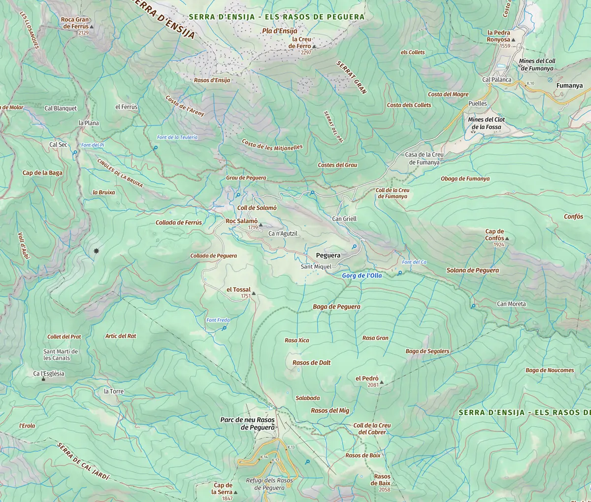
From the Rasos car park

Longer, with a similar climb to the route from Peguera.

Distance
6.8 km
Climb
+710 m
Take-off elevation
2,260 m
Topographic map of From the Rasos car park, from the start to the take-off
Base map: © Institut Cartogràfic i Geològic de Catalunya (CC BY 4.0)
1,600 1,800 2,000 2,200 0 km2 km4 km6 km
Elevation profile

Route recorded by the school's team.

Download GPX GPX · 10 KB
Getting there

Where it starts and what the take-off is like

  • Starting point

    Peguera, or the Rasos de Peguera car park, depending on the route. From there the whole way is on foot, with no road access to the ridge.

  • The take-off

    A high-mountain meadow on the ridge, with the south side facing Peguera and the north side facing the other side of the range. The wind of the day decides which one is used.

  • A waymarked path

    The Gallina Pelada area also has a marked footpath, the PR-C 79, which starts in Saldes. It is a way to get to know the mountain on foot, but it is neither of our two routes.

Where you land

According to published flying-zone guides, the usual landings are the Coll de Peguera to the south and the Pla del Molí to the north. Where you come down on a given day is decided by the pilot at the briefing, depending on the wind and the ground.

Before you go up

What to keep in mind

  • This is real mountain terrain. You need good fitness, mountain boots, warm clothing, water and food for a long day.
  • The ridge is above 2,200 metres. Weather changes quickly at that height, with wind, fog or storms arriving with little warning. Check the forecast before setting out and be ready not to fly.
  • The 83 minutes is our own climb from Peguera. Yours will depend on your pace, the season and the state of the path.
  • The decision to fly is always the pilot's, on site and in the real wind. This article describes the place, it does not replace the briefing.
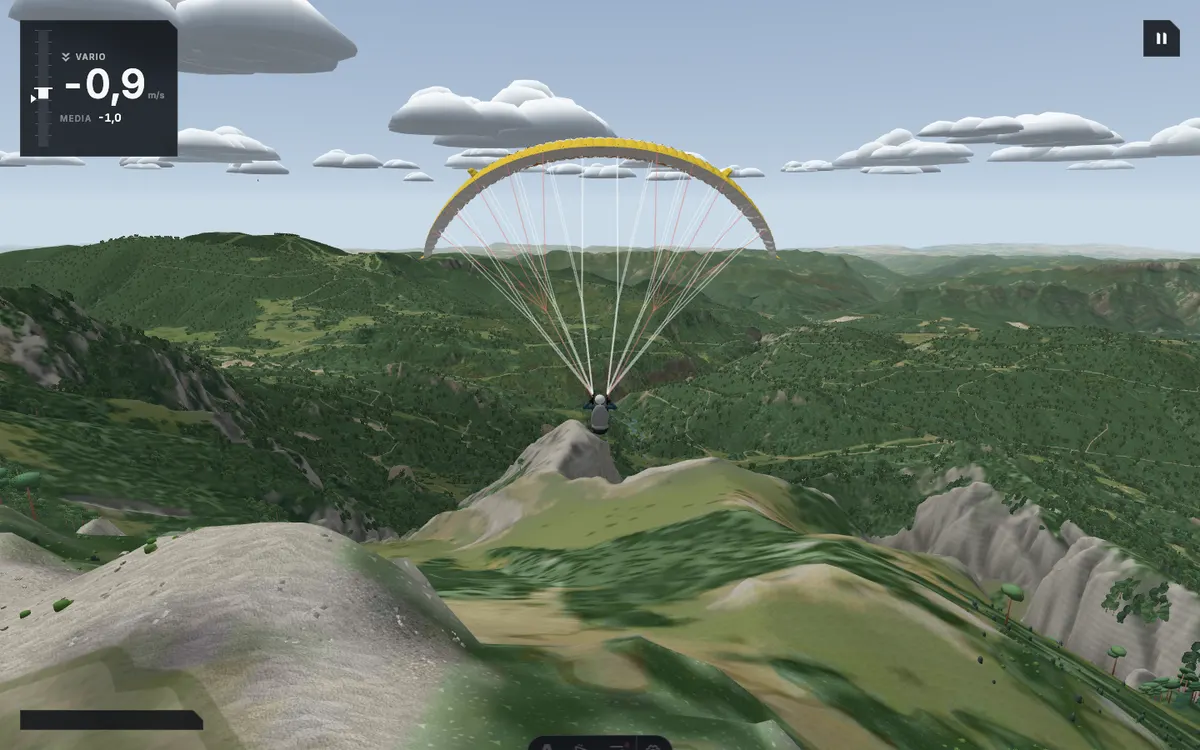
Screenshot of the school's simulator on the Serra d'Ensija, with the ridge and the south slope in front of the wing

The simulator

Try the Serra d'Ensija in the simulator

The Serra d'Ensija rebuilt in the school's simulator, with terrain from real data. You start on a meadow on the same range, near the Gallina Pelada summit, facing south.

The simulator needs an account, so it will ask you to sign in before you start. Choose free flight and press fly.

Fly here with us

Hike & Fly · Serra d'Ensija

We walk up to the summit you choose and launch from the top.

Acro and the photo and video report are included in the price.

This flight depends on the weather: 24 to 72 hours ahead we know whether there is a window. If there is none, we reschedule at no cost or refund the full amount.

Price
€180
Duration, climb and flight
2–3 h
All summits
from €120 to €225

The article informs. Booking happens on the flight page.

More take-offs

Other take-offs in the Berguedà

Frequently asked questions

Where do you start the hike up to the Serra d'Ensija?

We have recorded two routes, one from Peguera and one from the Rasos de Peguera car park. Both end on the ridge, where the take-off is.

How long does the climb take?

Our climb from Peguera took 83 minutes. We have not timed the route from the Rasos car park, which is longer.

Where do you land?

Published flying-zone guides name the Coll de Peguera to the south and the Pla del Molí to the north. The pilot decides the day's landing at the briefing.

Do I need mountain experience?

You need good fitness and mountain gear. The climb is long and the ridge is above 2,200 metres, where the weather can change fast.

Choose which cookies you accept. You can change it at any time from “Cookie settings” at the bottom of the page.

Visit statistics (Umami) are anonymous and use no cookies, so they do not depend on this choice.

That flight doesn't fit this booking

See the booking