

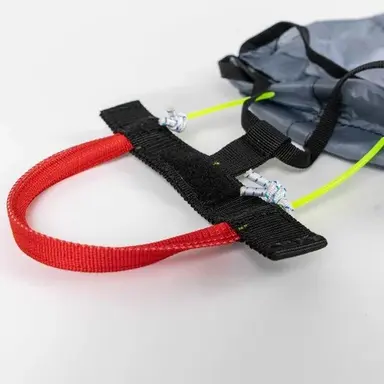

Flight simulator
Fly the Berguedà from home
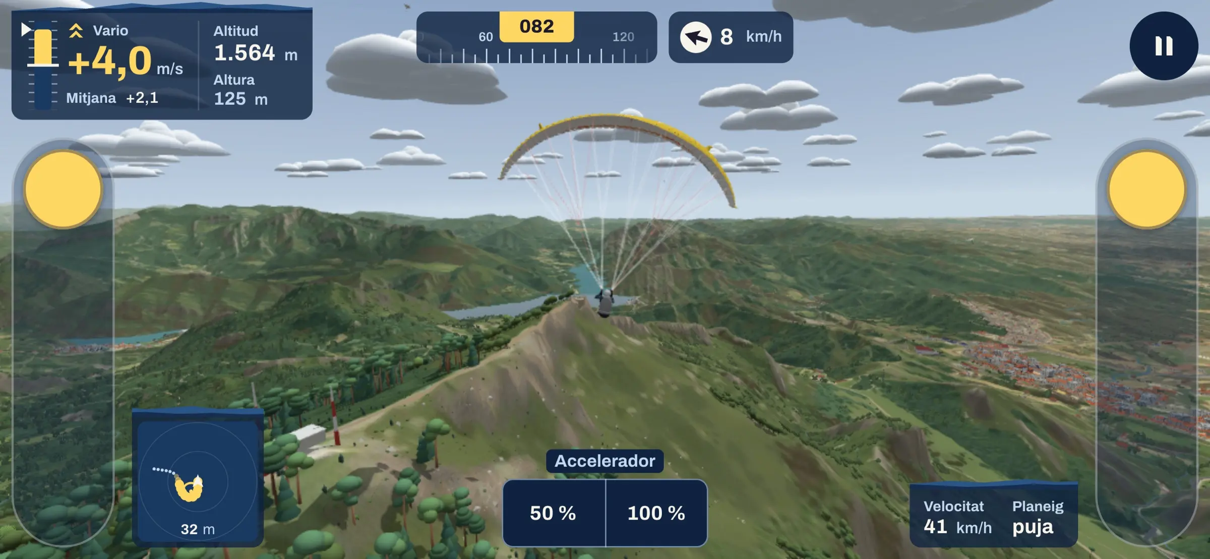
The school's simulator recreates the real terrain around Avià and the Berguedà. Use it to practise approaches, to understand how a paraglider moves, or just to enjoy exploring the valleys.
It is free. You just sign in with a school account.
What it is for
Three ways to use it
-
Practise your approaches
The landing school drops you over the height-loss area beside Cal Foubes, our landing field in Avià. An instructor talks you round the circuit on the radio: figure eights to lose height, downwind, base, final and flare.
- Three wind set-ups: south, west and a strong easterly, each with its own way into the field.
- Every landing gets a score out of 100 for accuracy, touchdown, ground speed, flare and whether you came in facing the wind.
- Afterwards it tells you what to work on: flaring too early, too late, or landing with the wind behind you.
-
Understand how a paraglider moves
One brake turns the wing; both together slow it down; all the way down, just before touchdown, they give you a soft landing. Pull too much and the wing stalls, just as it would in the air. In the simulator you can watch it happen with nothing at stake.
- The speed bar makes you faster, and you also sink faster.
- The wind carries you: on a windy approach you have to correct for drift.
- Thermals lift you, and you have to find them and centre them to gain height.
- You can choose the wing class, from EN A to EN D: each one flies differently.
-
Have fun exploring the Berguedà
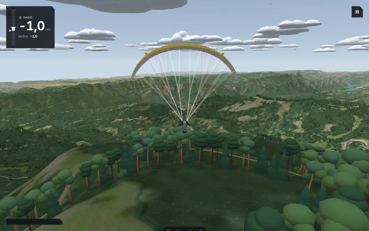
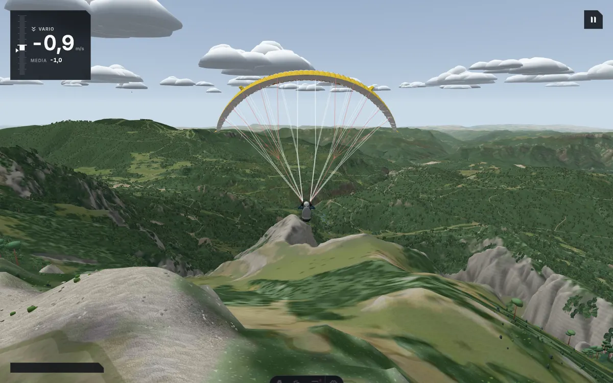
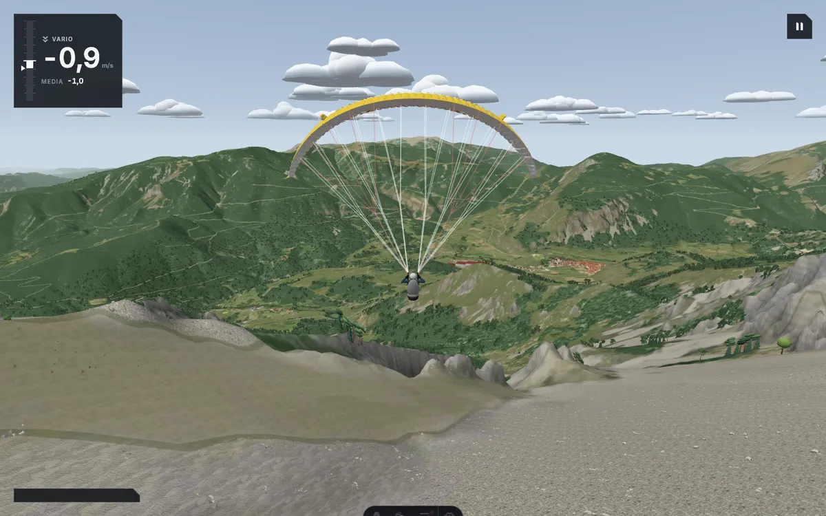
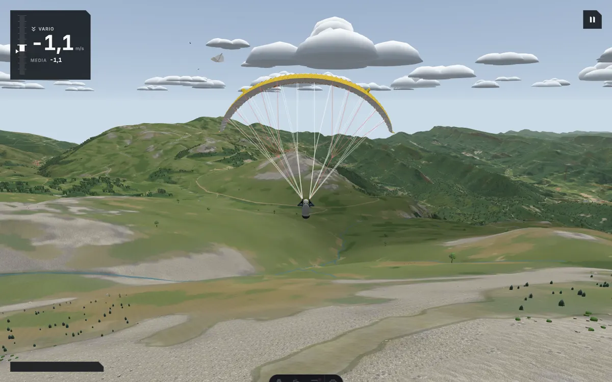
The terrain and aerial imagery come from the Institut Cartogràfic i Geològic de Catalunya, and free flight replays the weather of a real summer day with good thermals. Pick a take-off, find the thermals and see how far you get: the Queralt sanctuary, the Rasos de Peguera, the Serra d'Ensija or the Pedraforca.
- Fly in a public room with other pilots, or open a private one and share the link with up to eight friends.
- Flights are scored on distance, with a leaderboard for each day.
Computer and phone
In your browser, nothing to install
It opens in the browser, on a computer or a phone, with the same account on both.


In the air
From La Figuerassa to the Pedraforca
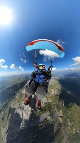
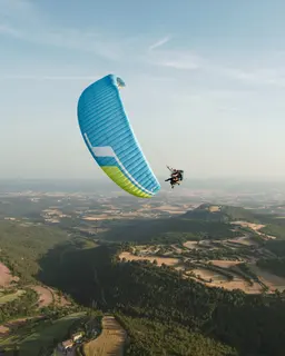
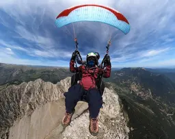
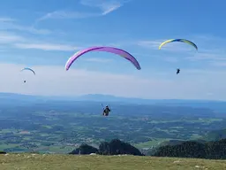
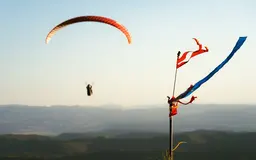
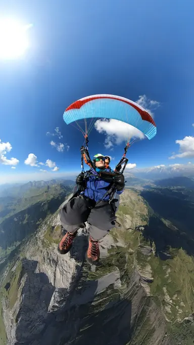
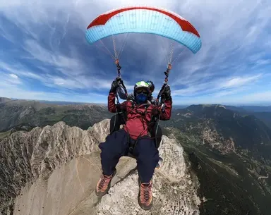
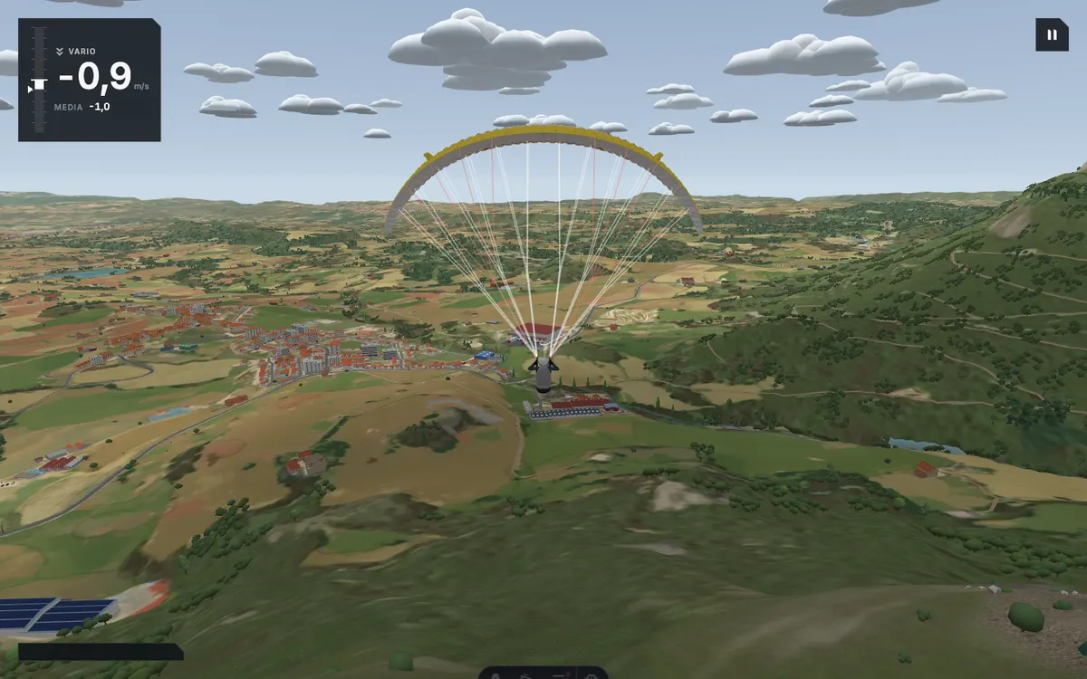
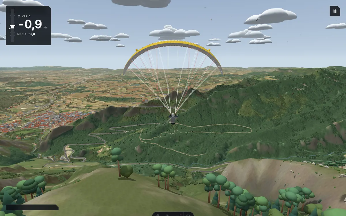
One flight from La Figuerassa, above Avià, and another from the Enforcadura of the Pedraforca, facing Gósol. Exactly as it looks in the simulator.
Launch
The six take-offs
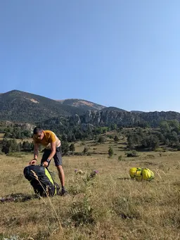
From Primera Maria, above Avià, to the Hike & Fly summits: all six are inside the simulator's terrain, and you can start your flight from any of them.
Simulator and lessons
It complements your lessons, it does not replace them
The simulator helps you understand the approach circuit and how the wing responds, but some things in the air can only be learnt with an instructor beside you and on the radio: reading the real wind, taking off, landing in the field. Use it before your course or between lessons, and come and fly with us.
Frequently asked questions
Is the simulator free?
Yes. You just sign in with a school account, through a link sent to your email, with no password.
Does it work on a phone?
Yes, in the phone's browser, held sideways, with the brakes under your thumbs. It also runs on a computer with the keyboard. You need a browser that can show 3D graphics.
Is the terrain real?
Yes. The terrain and aerial imagery come from the Institut Cartogràfic i Geològic de Catalunya, and it includes the Avià take-offs as well as Hike & Fly sites, such as the Pedraforca and the Serra d'Ensija.
Can I learn to fly with the simulator?
It will help you understand the approach circuit and how the wing responds to the brakes, but flying is learnt in the air, with an instructor. The beginner course is the first step.
Take your first flight in the simulator
Pick a take-off and fly. When you want to try the real air, we will be waiting in Avià.