
Book
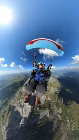
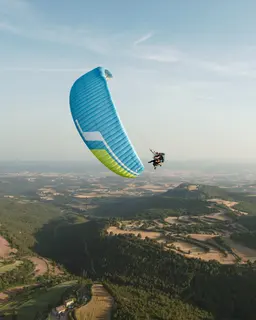
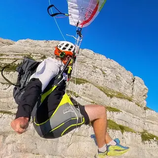
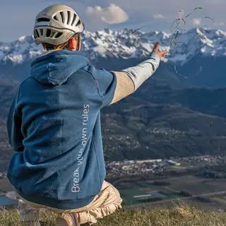
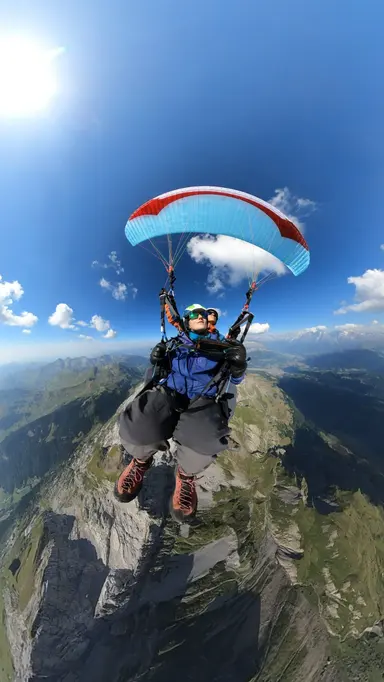
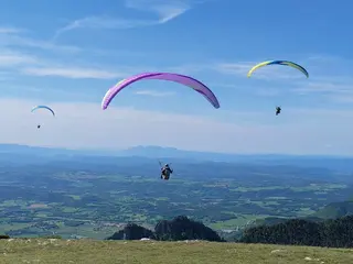
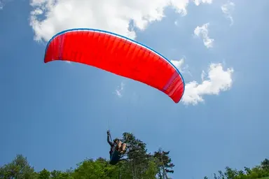
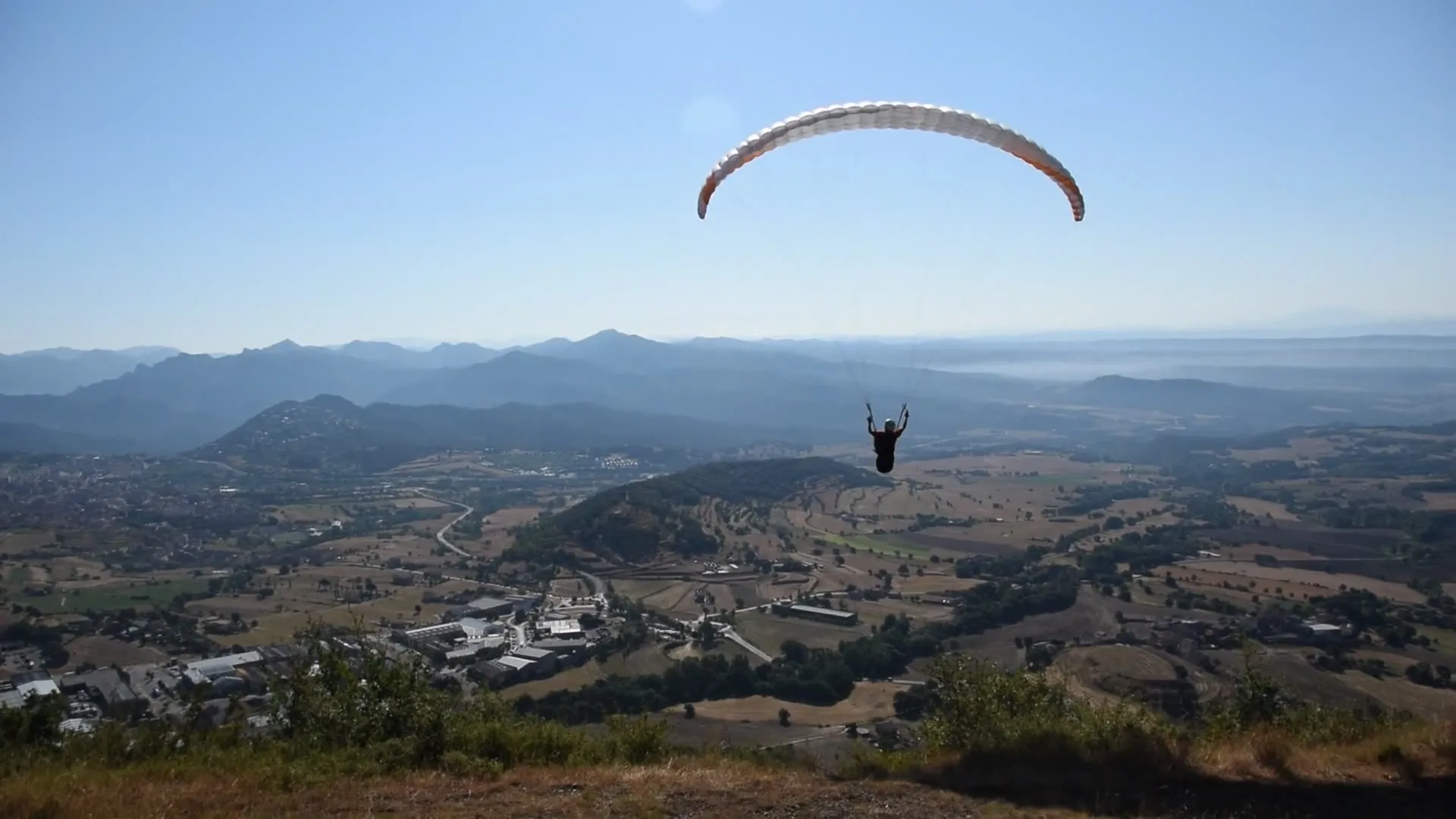
A pilot under the wing flying over a valley

La Figuerassa, the take-off above Berga you walk up to

How to walk up to the Figuerassa take-off, with two routes recorded by our team and the landing at Avià.

Hike & fly · Guide · Updated 30 October 2026

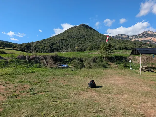
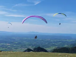
La Figuerassa is the take-off on the slope above Berga, in the Berguedà. It is a wide meadow, facing south and easy to take off from, with the valley, Berga and the Queralt sanctuary in front of you.

There are two ways to walk up: direct from Berga, or the long route from Avià. We land at Avià. Below you have both climbs, with the data from our own tracks.

The walk up

Two routes to the take-off

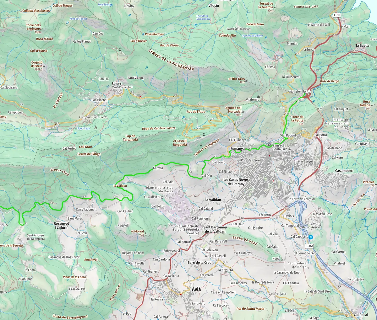
These are two tracks recorded by our team, and both end at the take-off meadow. One starts in Berga and climbs straight up. The other starts in Avià, takes the long way round and is taken at an easy pace.

Direct route from Berga

The shorter and steeper of the two. We timed it on our own ascent.

Distance
4.0 km
Climb
+770 m
Take-off elevation
1,490 m
Our time
1 h 21 min

How long one of our own ascents took. Yours will depend on your pace.
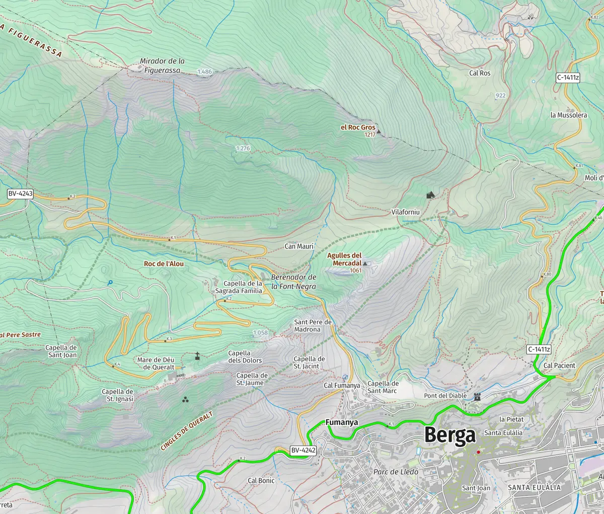
Topographic map of Direct route from Berga, from the start to the take-off
Base map: © Institut Cartogràfic i Geològic de Catalunya (CC BY 4.0)
800 1,000 1,200 1,400 0 km1 km2 km3 km
Elevation profile

Route recorded by the school's team.

Download GPX GPX · 10 KB
Long route from Avià

Long and relaxed, with a gentler average slope. We have not timed it.

Distance
9.6 km
Climb
+840 m
Take-off elevation
1,490 m
Topographic map of Long route from Avià, from the start to the take-off
Base map: © Institut Cartogràfic i Geològic de Catalunya (CC BY 4.0)
800 1,000 1,200 1,400 0 km2 km4 km6 km8 km
Elevation profile

Route recorded by the school's team.

Download GPX GPX · 16 KB

Access

Where it starts and where it ends

  • From Berga

    The direct route starts in Berga, at about 730 metres, and reaches the take-off at about 1,490.

  • From Avià

    The long route starts in Avià, at about 680 metres, and ends at the same meadow.

  • Orientation

    The take-off faces south, over Berga and the Queralt sanctuary. It is a wide meadow and an easy place to take off.

  • The viewpoint

    A few metres from the take-off is the Figuerassa viewpoint, with balconies to the east and west over the valley.

Where you land

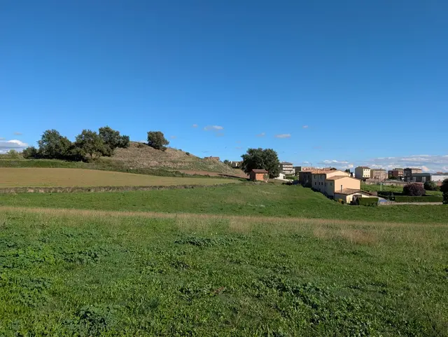
At Avià, in the village landing area, at the end of a long descent.

Before you climb

What to keep in mind

  • Good fitness, mountain footwear and suitable clothing are needed.
  • The take-off faces south, so the wind on the day decides whether we fly. We check it before climbing and the final call is always the pilot's.
  • The direct route gains a lot of height over a short distance. If you prefer a gentler climb, choose the long one.
  • The times we publish are those of our own ascents. Yours will depend on your pace and the route you choose.
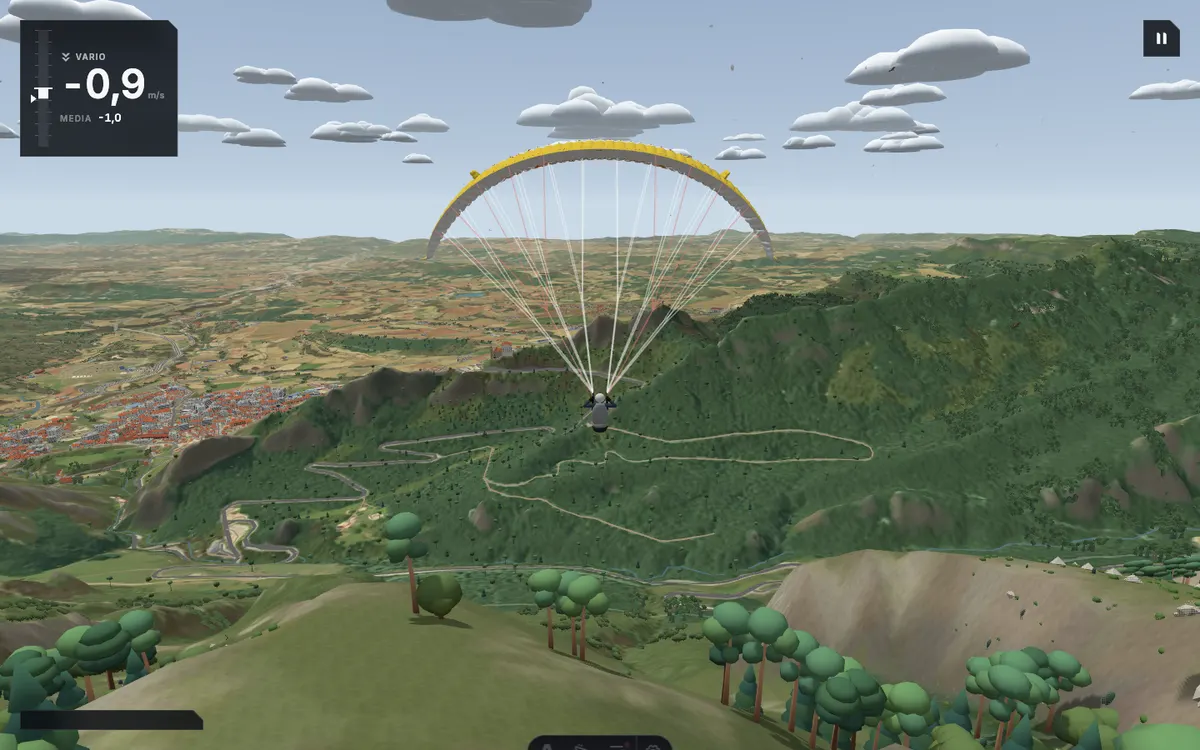
Screenshot of the school's simulator at the Figuerassa take-off, with the wing ahead, Berga on the left and the Queralt sanctuary in the distance

The simulator

Try this take-off in the simulator

La Figuerassa rebuilt in the school's simulator, with terrain from real data and the take-off heading south. You appear in the air, just above the take-off.

The simulator needs an account, so it will ask you to sign in before you start. Pick free flight and press fly.

Photos and videos

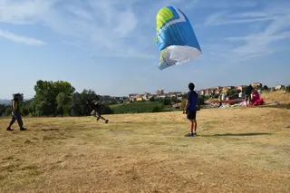
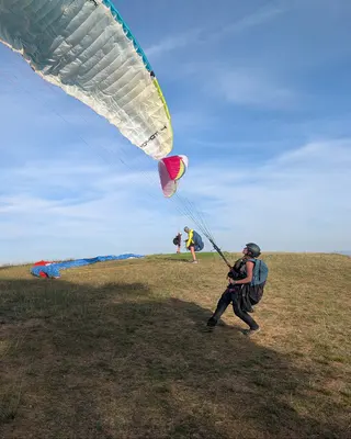
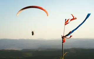
From the place, on our own cameras

Fly here with us

Hike & Fly · Figuerassa

We walk up to the summit you choose and launch from the top.

Acro and the photo and video report are included in the price.

This flight depends on the weather: 24 to 72 hours ahead we know whether there is a window. If there is none, we reschedule at no cost or refund the full amount.

Price
€160
Duration, climb and flight
2.5–3.5 h
All summits
from €120 to €225

The article informs. Booking happens on the flight page.

More take-offs

Other take-offs in the Berguedà

Frequently asked questions

Can you walk up to the Figuerassa from both Berga and Avià?

Yes, we have recorded both routes. The direct one starts in Berga and the long one in Avià. Both end at the same take-off meadow.

How long does the climb take?

Our ascent on the direct route, about 4 km, took 81 minutes. We have not timed the long route.

Where do you land?

At Avià, in the village landing area.

Choose which cookies you accept. You can change it at any time from “Cookie settings” at the bottom of the page.

Visit statistics (Umami) are anonymous and use no cookies, so they do not depend on this choice.

That flight doesn't fit this booking

See the booking